Mapping Simulation
Helping teams to create, manage, and apply digital map data
Product designer owner
(End-to-end)
1 Designer
1 Devs
Oct 2025 →
Dec 2025
No data collected
Overview
Simplified a complex workflow for simulation
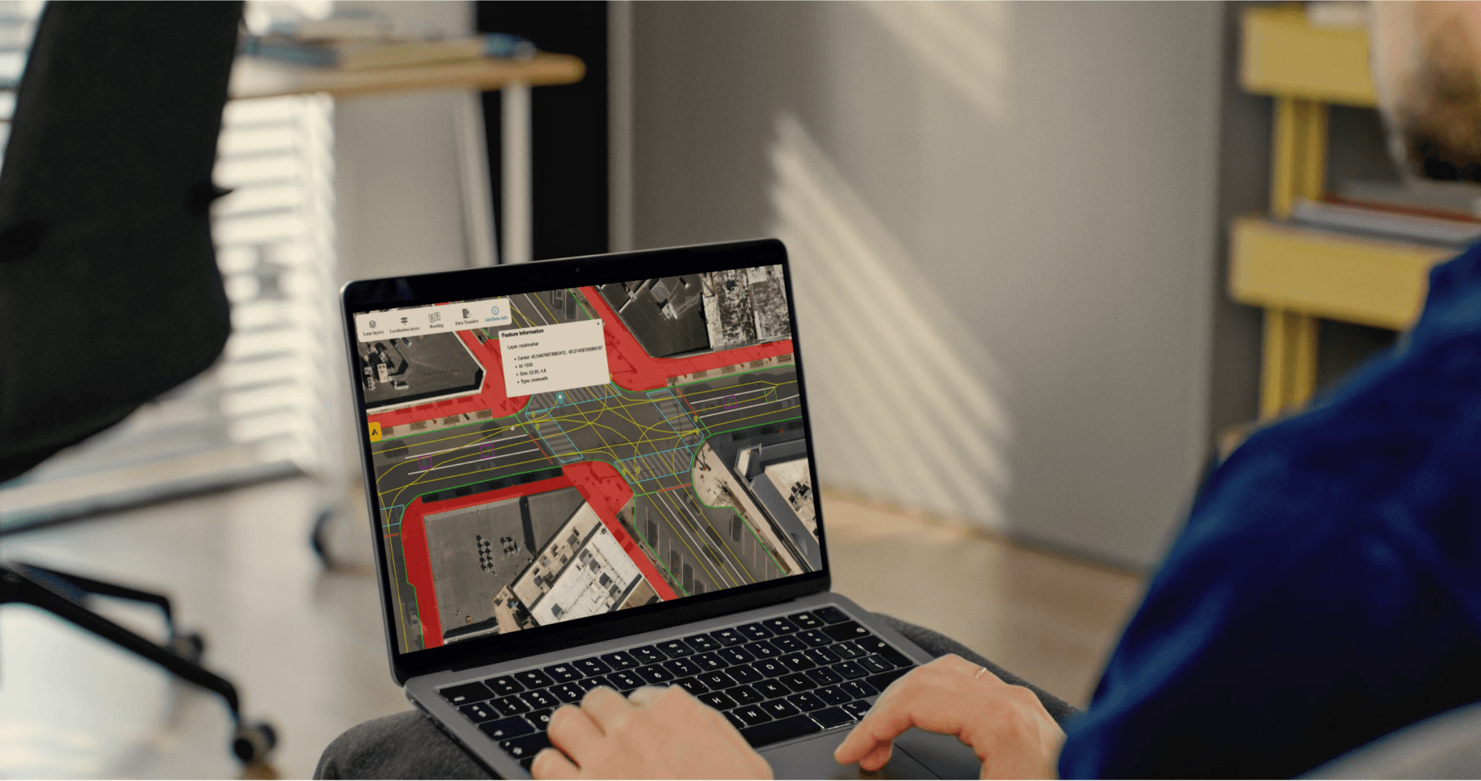
The mapping interface was created to address the challenges of producing high-fidelity road data for simulation and ADAS (Advanced Driver Assistance Systems) validation.
I focused on creating a simplified workflow, reducing friction in job execution, and designing validation tools that made the output easier to trust.
Problem
Simulation environments do not reflect how roads actually work
Developers spend significant time inside simulation before any vehicle reaches a real road. The environments they test in were largely hand-built: synthetic, imprecise, and slow to scale.
How might we…
Make real-world road infrastructure easier to use across simulation workflows?
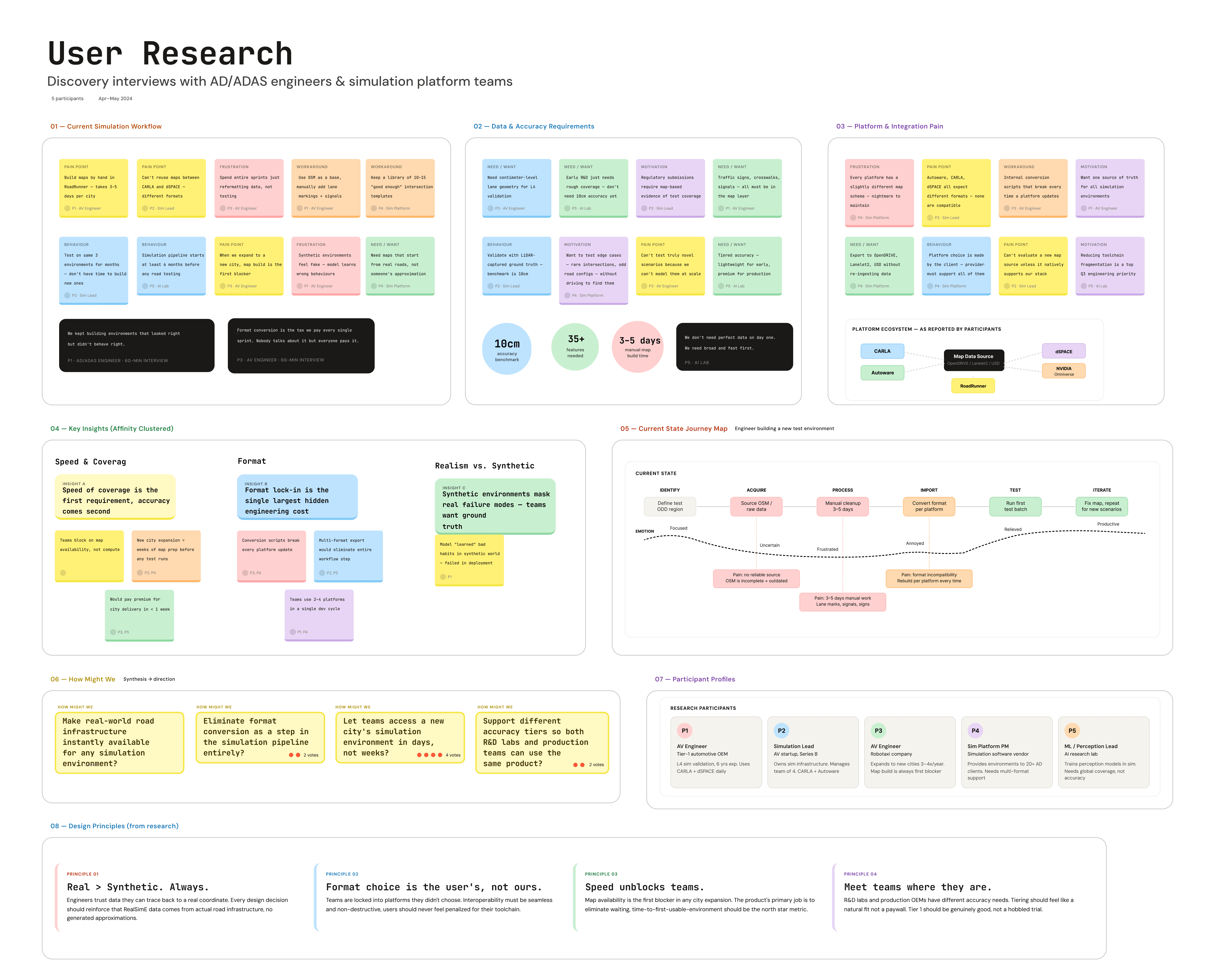
Engineers needed real infrastructure, not better approximations
Insights
Designing around the simulation workflow
Once I understood where the workflow was breaking down, I focused on four design challenges:

Mapping workflow first
I started by defining the full journey to help narrow the moments creating the most friction.
Tool support
Format selection needed to feel clear and flexible without requiring users to think about technical specifications.
Tier model for all needs
Rather than forcing one experience for everyone, I designed around distinct use cases with different expectations.
Translating technical value
The product needed to speak to both engineers evaluating capability and buyers evaluating value.
Solution
High-fidelity environment modeling
I designed the core experience around clear map interaction, structured project setup, and a workflow that made high-fidelity road data feel usable from the start.

Supports multiple tools and formats
The export experience was made to make the format selection feel clear and flexible while reinforcing that it could support multiple simulation platforms without adding unnecessary complexity.
Map customization and access
I focused on making project states, access points, and customization paths easier to follow so the platform felt structured without becoming rigid.
Scalable city coverage
Designed for scale by making location selection, map requests, and environment review feel lightweight and repeatable, so users could move from one city to the next without restarting the workflow each time.

Shipped across the major simulation platforms
The application launched with support for the four platforms used most widely by AD/ADAS teams. The tiered model and flexible export system made it adoptable at every stage of the development cycle, from early AI labs through production validation at OEMs.

Simulation Providers

OEMs & Tier 1s

AI Labs


